Counting Crops During COVID
The Earth Science Division is using information from NASA’s Earth-observing
satellites, surface sensors, and computer-based datasets to study the environmental,
economic and societal impacts of the COVID-19 pandemic and to determine whether
environmental factors influence the spread of the virus.
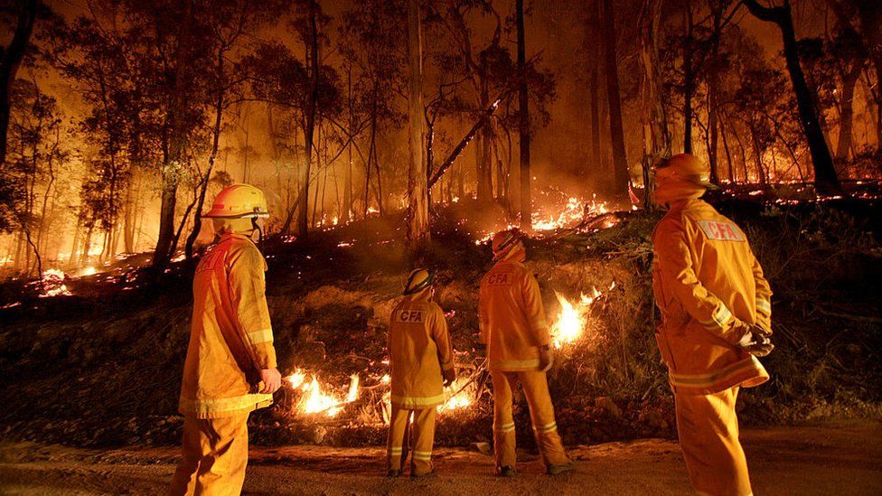
The newest group of projects includes six that are looking to satellite images to
help
reveal how COVID-19 lockdown measures are impacting food security, fire ecology,
urban surface heat, clouds and warming, air pollution and precipitation, and water
quality and aquatic ecosystems.
NASA’s Earth Science Division manages these projects that find new ways to use
Earth observing data to better understand regional-to-global environmental,
economic, and societal impacts of the COVID-19 pandemic.
Counting crops during COVID is one project among them that helps to reveal how
COVID-19 lockdown measures are impacting the food security.
This year was looking to be a relatively normal year for crops until the pandemic
and
associated lockdown policies happened. Social distancing and living under
a lockdown appear to be the only effective ways of dealing with the pandemic. In the
short run, we will likely witness a breakdown of supply chains of agricultural
produce
with no facilities for transportation of produce. This is likely to hurt those
engaged in
the production of fruits and vegetables, which are perishable goods and cannot be
stored. Reduced air and ground travel caused the demand for ethanol to plummet,
which caused corn prices to decline. Lockdown policies also made it harder for
officials from the U.S. Department of Agriculture (USDA) to travel to farms and
collect information about crop planting, progress, and conditions.